Sunday, September 30, 2018

RED ASPEN LEAVES

UTAH STATE TREE

Quaking Aspen
 
Every year these Aspen trees turn brilliant red.
You can view these trees in Brighton, Utah, on the west side of the large ski parking area.

Saturday, September 29, 2018

WASATCH WATERSHED REGULATIONS

WATERSHED SIGN AT LAKE MARY

WATERSHED REGULATIONS

Please observe these restrictions within our watersheds.  Help keep your drinking water clean.

No swimming, no wading and no washing in lakes, creeks, and streams.
No camping within 200 feet of water.
Check the Forest Service for fire restrictions and regulations in the backcountry.

No dogs, no horses, and no domestic animals allowed in watershed areas.

Please use restrooms.  Human waste must be buried 6" deep and 200' away from any water source or trail.

SALT LAKE COUNTY WATERSHEDS
Bell Canyon Creek and tributaries.
Big Cottonwood Canyon.
Big Willow Creek and tributaries.
City Creek Canyon above the treatment plant.
Corner Canyon above Bonneville Shoreline.
Deaf Smith Canyon Creek and tributaries.
Emigration Canyon above Burrs Fork.
Lambs Canyon.
Little Cottonwood Canyon, including Alta.
Little Willow Creek and tributaries.
Mountain Dell Canyon
Parley's Canyon
South Fork of Dry Creek.
(There may be more areas not listed here.)

Wednesday, September 5, 2018

PC HILL

TRAILS OF ROUND VALLEY


PC HILL is a hiking only trail, away from the crowds.
1.3 miles out and back and 475' elevation gain.
You can find this trail off of HAT TRICK.
Dogs must be on leash in this agricultural area.  

Tuesday, August 28, 2018

UTAH BRUSHFOOTS

BUTTERFLIES OF THE WASATCH


Butterfly was found up Millcreek Canyon.

Saturday, August 25, 2018

BANEBERRY

POISONOUS PLANTS OF MILLCREEK CANYON


BANEBERRY IS A POISONOUS PLANT.
THE BERRIES, ROOTS AND SAP ARE TOXIC.   

Tuesday, July 31, 2018

STUMP HOLLOW

LOGAN CANYON TRAILS


MOUNTAIN BIKERS AND HIKERS 
MAY ENJOY THIS NON MOTORIZED TRAIL


PARKING LOT: North east side of US 89 and State 243 (Beaver Mountain Ski Resort)
RESTROOM available north of parking area
TRAILHEAD: Across from US 89 ~ south side of road
MILEAGE: 5 miles each way
RATINGS: Moderate
ELEVATION GAIN: 1,280'

Saturday, July 28, 2018

LIMBER PINE NATURE TRAIL

UINTA WASATCH CACHE 
NATIONAL FOREST

LIMBER PINE TRAIL
GPS: 41°55'30.5"N 111°28'18.2"W
LOCATE ON US 89 IN LOGAN CANYON
NEAR SUNRISE CAMPGROUND

ENJOY A GREAT FAMILY HIKE
TO ANCIENT LIMBER PINE TREES

BENCH

MILEAGE: 1.3 mile loop
ELEVATION GAIN: 80'
RESTROOM AVAILABLE
KID FRIENDLY TRAIL
NO MOUNTAIN BIKES   
HIKE TIME: 3/4 hour

VIEWING AREA


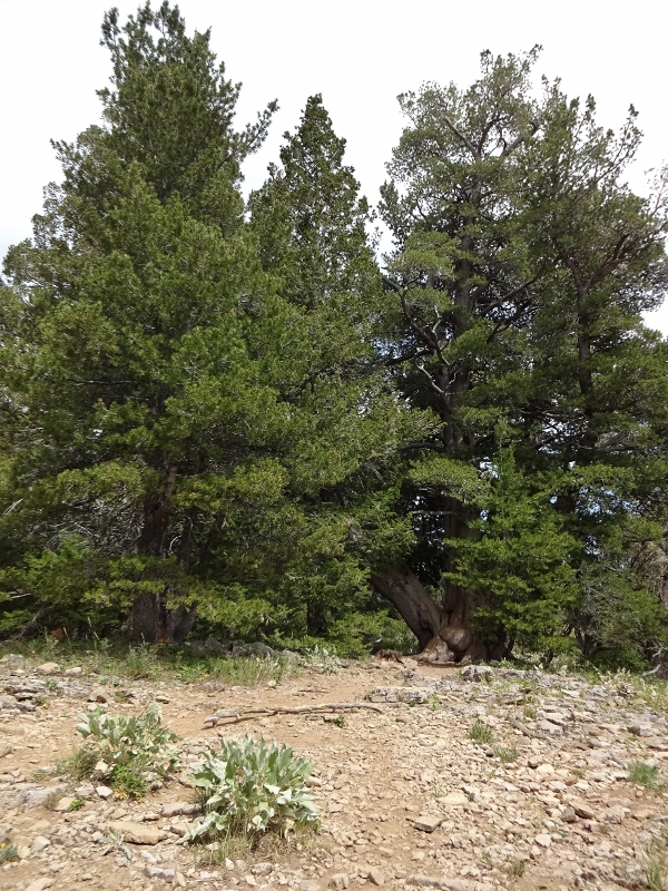
CLUSTER OF LIMBER PINES


LIMBER PINE 560 YEARS OLD